India State Story | Himachal Pradesh | A4 Booklet
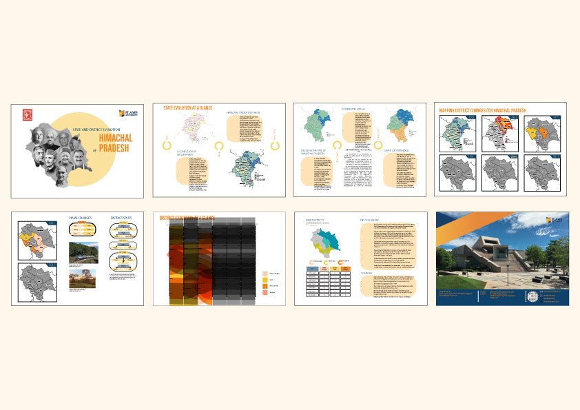
- Visual story of the evolution of each state (or combination of states/ UTs for joint posters) pre and post Independence , along with key figures involved
- Map of district evolution for large states and UTs
- Interesting features on name changes and district splits
- Alluvial chart tracing the changes in districts from 1951 onwards
- Interesting, did you know.
Visual Story of Himachal Pradesh’s Evolution
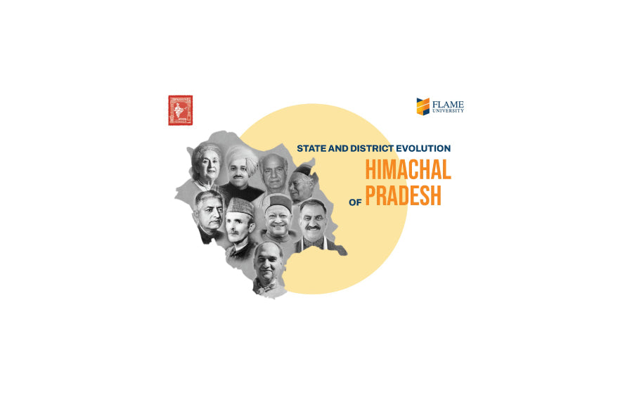
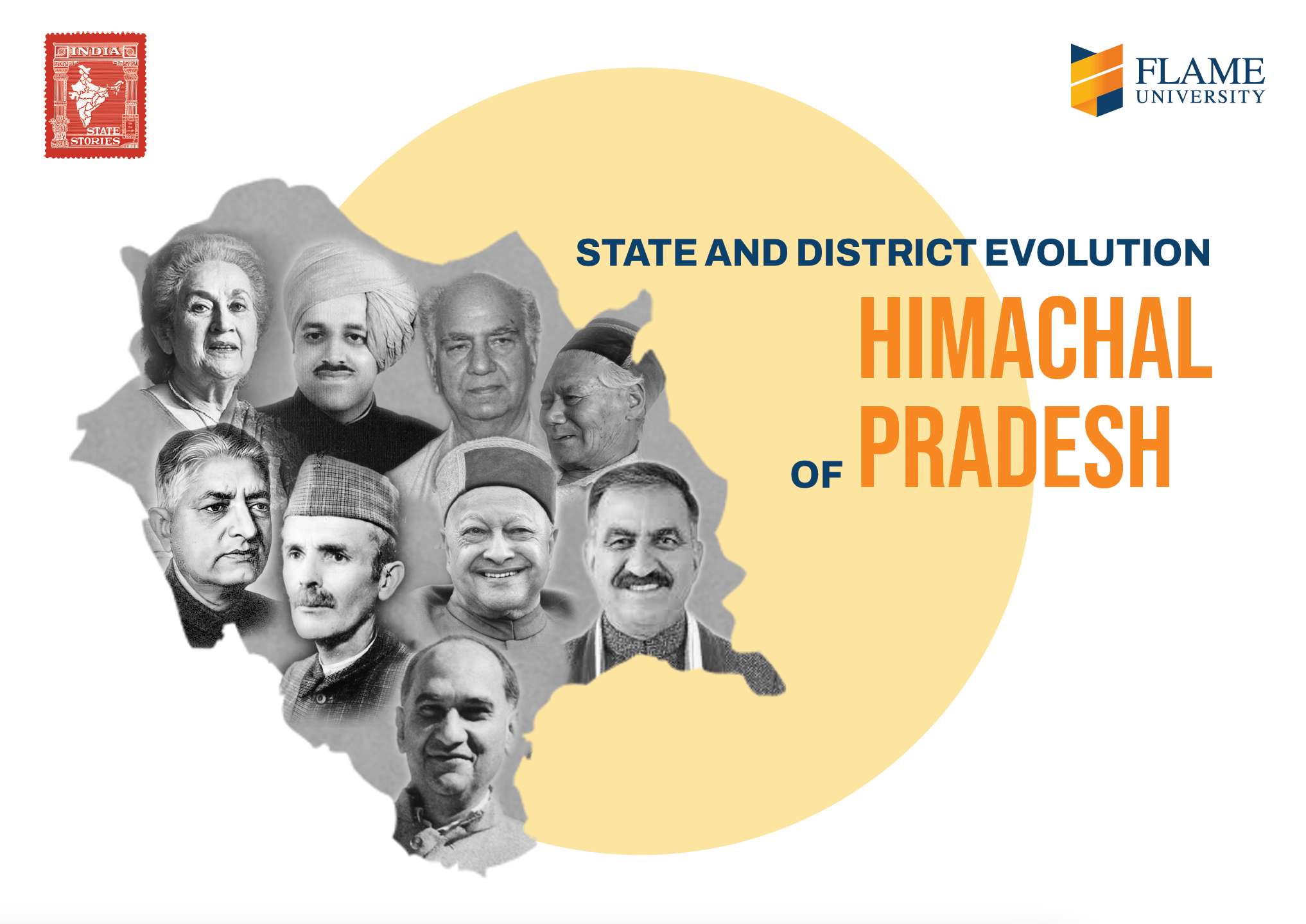
This poster traces the political and territorial journey of Himachal Pradesh—a region carved from the folds of princely hill states, each with its own legacy of autonomy and identity. At Independence, the area was a patchwork of 28 East Punjab Hill States, Bilaspur, and territories under the Patiala and East Punjab States Union (PEPSU). The process of integration began in 1948 with the formation of Himachal Pradesh as a Chief Commissioner’s Province, kept administratively separate due to its unique topography and identity. Despite remaining a Union Territory through the 1950s and 60s, persistent local aspirations and national developments—including the 1965 Indo-Pak war and Punjab Reorganization Act of 1966—eventually led to full statehood on December 25, 1970, following unanimous demand from the Himachal Legislative Assembly.
Spatial Dynamics and District Evolution
The poster visualizes the administrative reorganization of Himachal Pradesh from its early post-independence years to the present. District boundaries were redrawn to enhance governance in the hill terrain, with key milestones including the creation of Solan and Shimla districts in 1972 following the dissolution of Mahasu. The state has seen relatively fewer changes compared to larger states, reflecting its smaller population and cohesive geography. “Did You Know?” features highlight how Shimla, once the British summer capital, played a key political role even post-independence—hosting the historic Shimla Agreement of 1972. The winter capital Dharamshala, now also home to the Tibetan government-in-exile, adds to the state’s rich historical and cultural narrative. The accompanying alluvial chart captures how district identities have evolved in tandem with Himachal’s journey to modern statehood.


