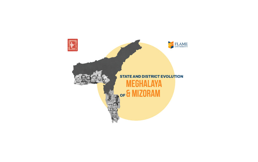
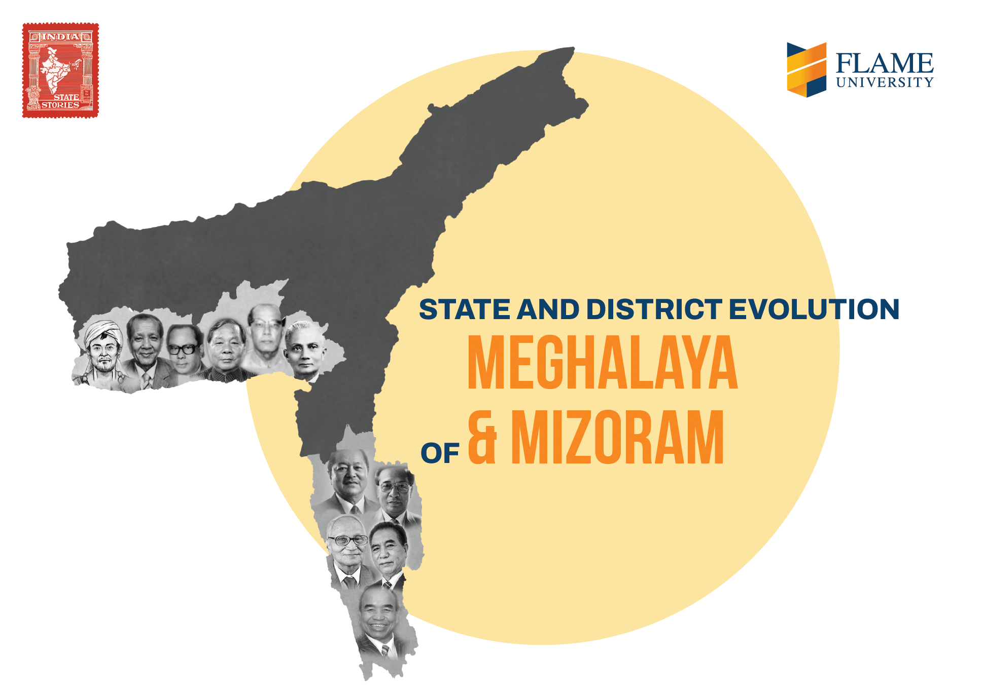
India State Story | Meghalaya & Mizoram | A4 Booklet
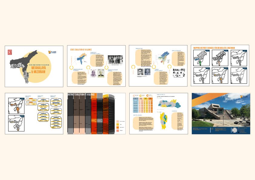
- Visual story of the evolution of each state (or combination of states/ UTs for joint posters) pre and post Independence , along with key figures involved
- Map of district evolution for large states and UTs
- Interesting features on name changes and district splits
- Alluvial chart tracing the changes in districts from 1951 onwards
- Interesting, did you know.
Visual Story of Meghalaya and Mizoram’s Evolution
This poster chronicles the intertwined yet distinct journeys of Meghalaya and Mizoram—from excluded tribal areas within Assam to full-fledged Indian states. Meghalaya’s political awakening began with the formation of autonomous district councils in the 1940s, spurred by the Khasi, Garo, and Jaintia communities. The imposition of Assamese as the official language catalyzed unified opposition under the All-Party Hill Leaders’ Conference, eventually resulting in Meghalaya’s recognition as an autonomous state in 1969, and full statehood on January 21, 1972. Mizoram’s path was more turbulent. The devastating Mautam famine in 1959 sparked widespread unrest and led to the emergence of the Mizo National Front (MNF). After years of insurgency and negotiation, peace was brokered through the historic Mizoram Accord in 1986, and the State of Mizoram Act granted statehood later that year.
Spatial Dynamics and District Evolution
The poster maps the administrative changes that followed state formation, showing how Meghalaya and Mizoram gradually evolved their district structures to suit geographic and governance needs. The alluvial chart highlights key milestones—such as the splitting of the Khasi and Jaintia Hills and the creation of districts like Ri Bhoi and South Garo Hills in Meghalaya, and Champhai, Mamit, and Khawzawl in Mizoram. “Did You Know?” insights reveal how Meghalaya's statehood was achieved with minimal violence—an anomaly in a region marked by ethnic unrest—and how the Mautam famine significantly reshaped Mizoram’s political trajectory. Through these visuals and narratives, the poster showcases how cultural identity, political assertion, and resilience shaped the unique state-building stories of Meghalaya and Mizoram


