India State Story | Uttar Pradesh | A4 Booklet
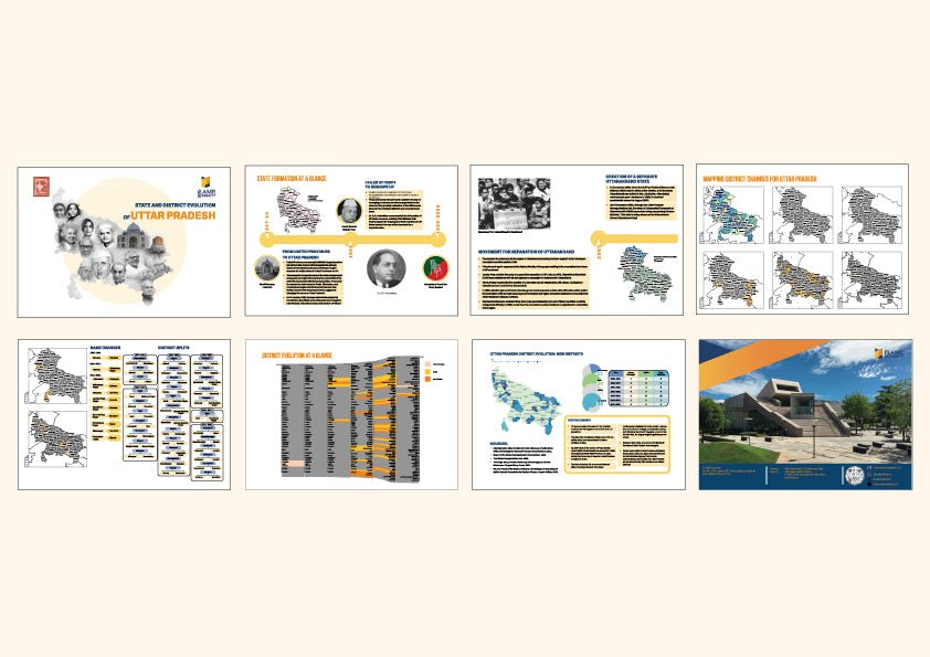
- Visual story of the evolution of each state (or combination of states/ UTs for joint posters) pre and post Independence , along with key figures involved
- Map of district evolution for large states and UTs
- Interesting features on name changes and district splits
- Alluvial chart tracing the changes in districts from 1951 onwards
- Interesting, did you know.
Visual Story of Uttar Pradesh’s Evolution
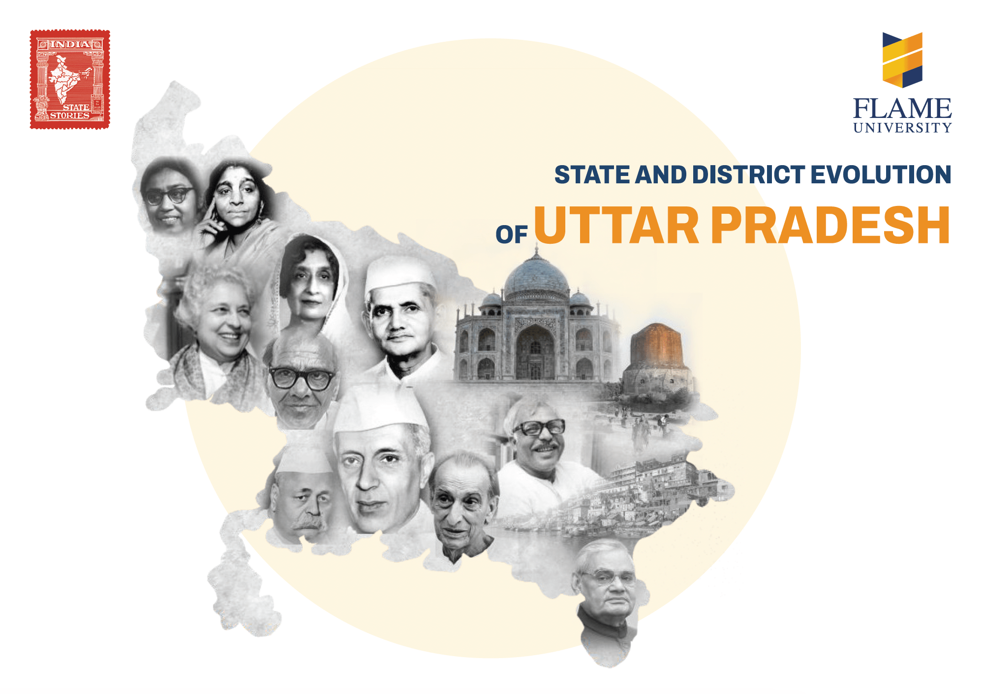
Uttar Pradesh—India’s most populous state—traces its administrative lineage back to the United Provinces of British India. The region was a key battleground during the 1857 revolt, which subsequently led to tighter British control and the formal establishment of the United Provinces in 1902. After Independence, it was renamed Uttar Pradesh in 1950, symbolizing a new era of Indian federalism. Despite its vast size and linguistic diversity, the States Reorganization Commission in 1956 did not recommend dividing Uttar Pradesh, unable to reach consensus on how to reorganize the state. The state instead became a central pillar in India’s political landscape, producing many national leaders and shaping postcolonial governance. A major administrative change occurred in 2000, when its hill regions were carved out to form the new state of Uttarakhand.
Spatial Dynamics and District Evolution
Uttar Pradesh’s district evolution reflects the immense challenges of governing a dense and diverse population. Starting from 35 districts in 1951, the number has steadily grown to 75 by 2021, with bifurcations aimed at improving local administration and access to services. The alluvial chart provides a compelling visualization of this progression—highlighting patterns such as the rise of new districts in western and eastern UP and the socio-political factors behind them. The “Did You Know?” section can spotlight fascinating aspects such as the renaming of cities and districts, or the unique role of Dr. B.R. Ambedkar in drafting the Constitution that governs India’s federal structures, including UP’s. This poster encapsulates the journey of UP from a colonial administrative unit to a politically and administratively complex heartland of India.


